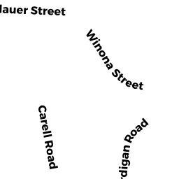
9 CARDIGAN RD
Owner Information
COPPOLA ANTHONY
9 CARDIGAN RD
PEABODY, MA 01960


Property Details
9 CARDIGAN RD is classified as a Single Family Residential (Split entry).
The primary structure on this property was built in 1966. There is 2,092ft2 of residential/living space within this property. This property is listed as having 9 rooms.
9 CARDIGAN RD is valued at $461,800. The land is valued at $213,900 and the structures are valued at $247,900. There is an additional valuation of $5,240 on this property.
This property is in Zone R1. Confirm with local Zoning Board authorities to ensure there are no overlays or other easements on this property.
The most recent deed for 9 CARDIGAN RD is recorded at the local registrar in Book 34536, Page 507. 9 CARDIGAN RD was last sold on Tuesday, May 1, 1984 for $98,500.
Assessment data from fiscal year 2022.
Flood Data
According to the FEMA National Flood Hazard Layer, this property does not appear to be in a flood zone. It may also be in an area not yet reviewed. Nonetheless, confirm this information prior to taking any action.
To view the flood hazards around this property, create a FEMA "Firmette" Map of the area around 9 CARDIGAN RD.
Broadband Internet Providers
| Provider | Type | Bandwidth (mbps) | |
|---|---|---|---|
| Verizon New England Inc. | DSL | 15 | 1 |
| RCN | Cable | 1000 | 20 |
| GCI Communication Corp. | Satellite | 0 | 0 |
| HughesNet | Satellite | 25 | 3 |
| RCN | Cable | 500 | 20 |
| VSAT Systems, LLC. | Satellite | 2 | 1 |
| Comcast | Cable | 1000 | 35 |
| Viasat Inc | Satellite | 100 | 3 |
Broadband service provider data from December 2020.
Adjacent Properties
- 18 CARELL RD
Developable Residential Land owned by RACE PEABODY LLC - 16 CARELL RD
Single Family Residential owned by CHIULLI STEPHEN E & LINDA A - 11 RACE DR
Developable Residential Land owned by RACE PEABODY LLC - 8 CARDIGAN RD
Single Family Residential owned by DERRIVAN KEVIN & KELLY - 14 CARELL RD
Single Family Residential owned by WALLACE ANDREW J & JOY E - 12 CARELL RD
Single Family Residential owned by BRUNO MARK A & FRANCES - 7 CARDIGAN RD
Single Family Residential owned by FRANKEL KENNETH F & DIANA